Flood and Estuary Studies
 MHL has extensive experience investigating flood conditions and estuary processes along the NSW coast, including the many rivers, creeks and lagoons that drain into the ocean.
MHL's capabilities cover the full range of tasks required to carry out flood and estuary process studies from data collection to numerical modelling and analysis. This includes:
- Hydrologic and hydrodynamic modelling
- Real-time modelling and flood warning systems
- Installation and maintenance of monitoring equipment
- Telemetry and data analysis

Flood Studies
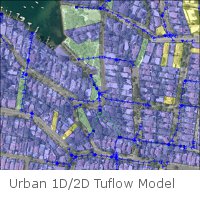
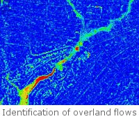
MHL carries out comprehensive flood studies to determine the nature and extent of existing and future flooding problems for a range of events up to the Probable Maximum Flood. The results of these studies identify flood related risks and hazards, assisting in the development of mitigation options and appropriate management of flood prone land.Studies have included investigation of local overland flooding in urban and rural catchments, riverine flooding, elevated ocean level and wave action flooding in coastal environments, and combinations of these types of flooding. MHL also incorporates climate change flooding scenarios based on expected increase in rainfall and sea level rise.
Results are presented through detailed floodplain mapping :

- inundation and velocity maps
- hydraulic categories
- provisional hazard categories
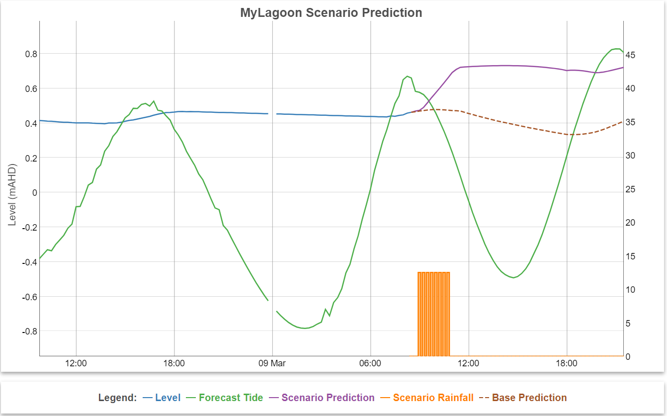
 MHL has also undertaken numerous estuary process and management studies, including detailed investigations and modelling of Intermittently Closed and Open Lakes and Lagoons (ICOLLs). We maintain web-based data and decision support tools to aid the management of estuaries such as the Hawkesbury-Nepean River system to detect algal blooms. Please visit the MHLFIT homepage for further information.
MHL has also undertaken extensive gauging of tidal flows in many NSW estuaries on behalf of NSW Government.